Study Notes
GCSE Geography | Is Weather in the UK Becoming More Extreme? (Weather Hazards 14)
- Level:
- GCSE
- Board:
- AQA, Edexcel, OCR, Eduqas
Last updated 19 Jul 2023
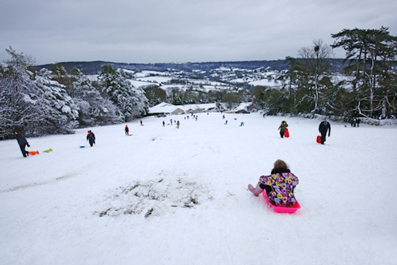
Many people argue that weather in the UK is becoming more extreme - but what is the evidence for this?
The State of the UK Climate report (published annually by the Met Office) highlights the following points...
- The UK’s climate is continuing to change, recent decades have been warmer, wetter and sunnier than the 20th century.
- All of the UK's top 10 warmest years, in the time series from 1884, have occurred this century.
- While the year 2021 would be considered near normal compared to the last three decades, before 1990, a year like this would be the second warmest in the series.
- In 2021 specifically, UK temperatures and sunshine were near to the 1991 – 2020 average with rainfall slightly below*.
* This report was published in July 2022 and summarises the climate in 2021, therefore does not included the record breaking temperatures experienced in July 2022.
Key statistics:
Temperature - on average, it was 0.2°C warmer between 2012-2021 than it was between 1991-2000, and 1°C warmer than it was between 1961-1990.
Sunshine - on average, it was 2% sunnier between 2012-2021 than it was between 1991-2000, and 8% sunnier than it was between 1961-1990.
Rainfall - on average, it was 2% wetter between 2012-2021 than it was between 1991-2000, and 10% wetter than it was between 1961-1990.
Air and ground frosts - on average, there were 5% fewer frosts between 2012-2021 than there were between 1991-2000, and 19.5% fewer than between 1961-1990.
Temperature
The top 10 warmest years for the UK since 1884 have occurred since 2002. In contrast, none of the coldest years have been recorded in this century. In August 2020 temperatures of at least 34°C were recorded for 6 consecutive days, along with 5 'tropical nights' (nights where temperatures stay above 20°C) - neither event had been seen before in the UK.
Since 2000 every year except 3 have recorded at least one tropical night - whereas between 1961 and 2000 only 50% of years had this.
Warm spells have seen their average length more than double – increasing from 5.3 days in 1961-90 to over 13 days in the decade 2008-2017.

Rainfall and flooding
Six of the 10 wettest years on record have occurred since 1998. Records began in 1862.
There has been an increase in the number of days where rainfall totals exceed 50mm - highlighting an increase in frequency and intensity of rainfall.
The UK is expected to experience drier summers and wetter winters, but summer rainfall will become more intense and we will see more severe flood occurrences in summer months.

Wind
There is no evidence of stronger winds in the UK however warming in the North Atlantic could bring the tail-end of more hurricanes to the UK, meaning we could experience an increase in storm-force winds.
Rising sea levels will also lead to more incidence of coastal flooding and storm surges - with a higher risk of weaker storms causing coastal flooding (which wouldn't have happened in the past).

Extreme cold
The average coldest day of the year has become 1.7 °C milder at -6.8°C, compared to -8.5°C between 1961-1990.
There are also far fewer very cold days - the average number of days when the maximum temperature stays below 0°C is 3.2 compared to 4.8 between 1961-1990.
You might also like

Unsustainable growth degrades Asia's land
8th October 2015
Rivers: Lower Course Processes and Landforms
Study Notes
Heatwave hits Europe
5th August 2017
How do climate models work?
15th January 2018
Legal action taken against the EU on climate change
27th May 2018
Wildfire distribution spreading to areas previously untouched
22nd February 2021

What’s Ocean Plastic Pollution Got To Do With Climate Change?
7th September 2022